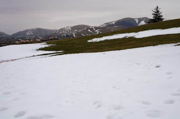
The Calf from Sedbergh.
Start. Sedbergh.
Route. Sedbergh - Main Street - Howgill Lane - Winder - Arant Haw - Rowantree Grains - Calders - Bram Rigg - The Calf - Bram Rigg - Calders - Crook - Settlebeck Gill - Sedbergh.
Notes. On a grey Saturday morning I found myself climbing the Howgill Fells, ascending from the 13th century town of Sedbergh into the hills where the Yorkshire Dales geologically meets the Lake District.
I left the car in the pay and display car park on Loftus Hill (it used to be free), following the road into Main Street I took the road next to the Dalesman Inn, Howgill Lane, just over a mile of road walking to reach a lane leading into the hills, I soon reached the gate in the intake wall, now on the steep ascent of Winder passing it's trig point and view finder before a short descent to the coll. From the coll the steepest climb of the day, Arant Haw, across the summit to descend onto Rowantree Grains followed by the ascent onto Calders, via Brim Fell Top to reach the highest point of the Howgill Fells The Calf. Re-tracing my steps to follow the main path under the summits I'd just ascended before a short diversion to the twin tops of Crook, north west from Crook to descend above the waters of Settlebeck Gill, eventually reaching Joss Lane where I made my way back to Main Street.

Ascending Winder with views to the north.
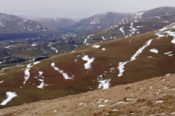
Over the ridges of the Howgill Fells and the Lune Valley the Tebay Gorge.
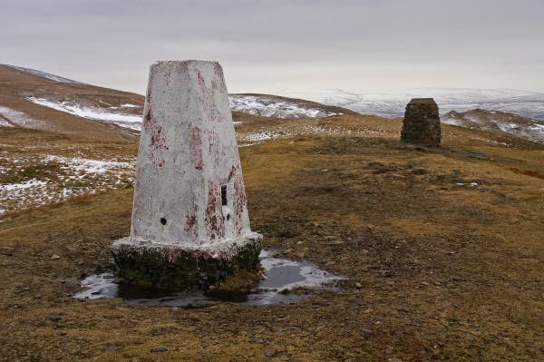
A trig point and view finder adorn the summit of Winder.

Looking to the wilderness of Baugh Fell across the twin summits of Crook.
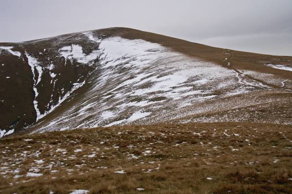
Next on my list the steep climb to Arant Haw.
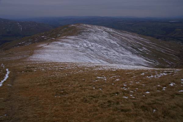
On the slopes of Arant Haw with a stunning view across Winder and the Lune Valley.

Seen from the summit of Arant Haw, Calders.
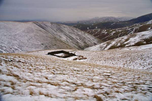
Winter conditions across Rowantree Grains Fold.
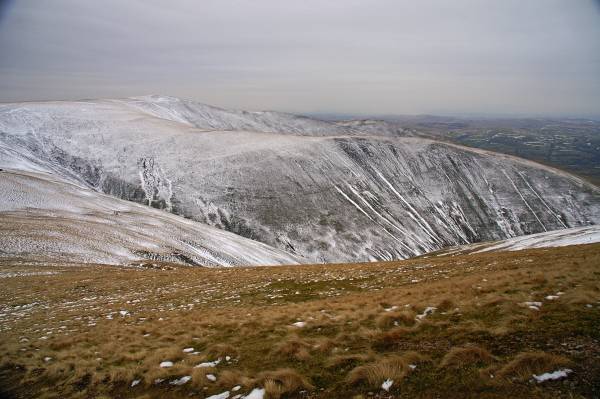
Arant Haw as viewed over Rowantree Grains.

On Calders looking to Middleton Fell with Arant Haw under snow.
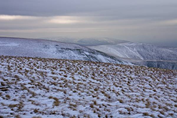
Views from the summit Calders.
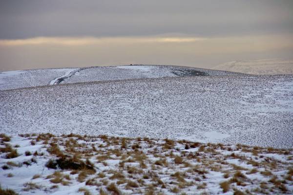
Calders seen from the slopes of The Calf.
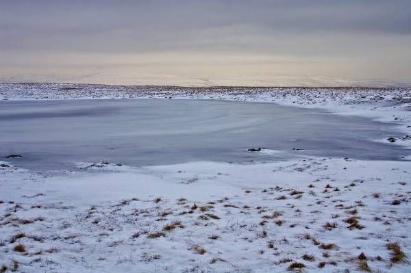
The summit of The Calf with views over Calf Tarn.
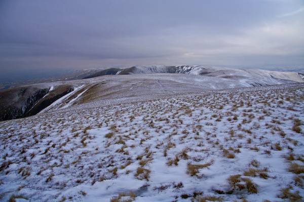
To the north Uldale Head and the Screes of Black Force.
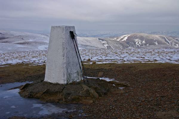
On the 2,220ft high summit of The Calf, the highest point on the Howgill Fells.
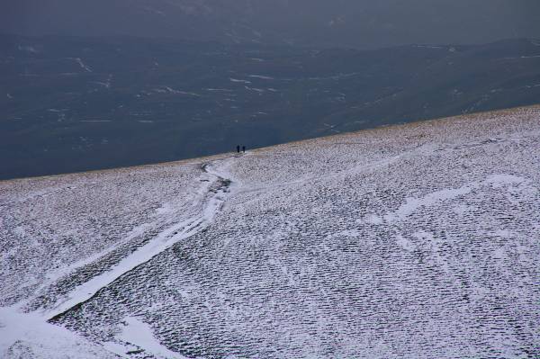
A couple of walkers descend Arant Haw.
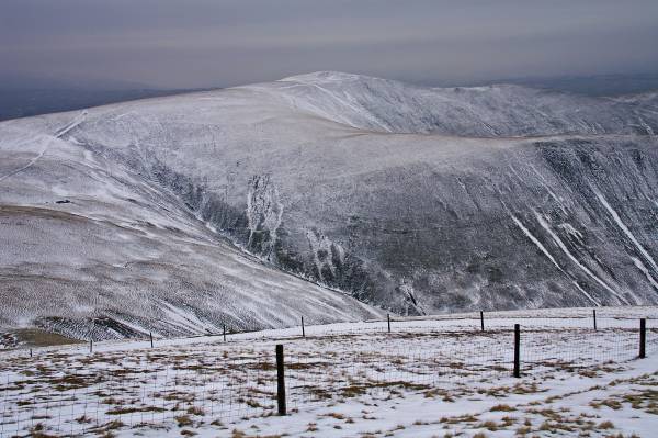
The upper slopes of Calders provide a fine viewpoint, this being Arant Haw.
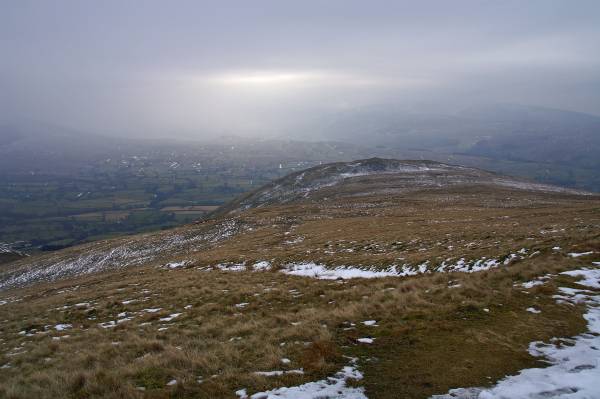
Views to Crook taken from above Ashbeck Gill.
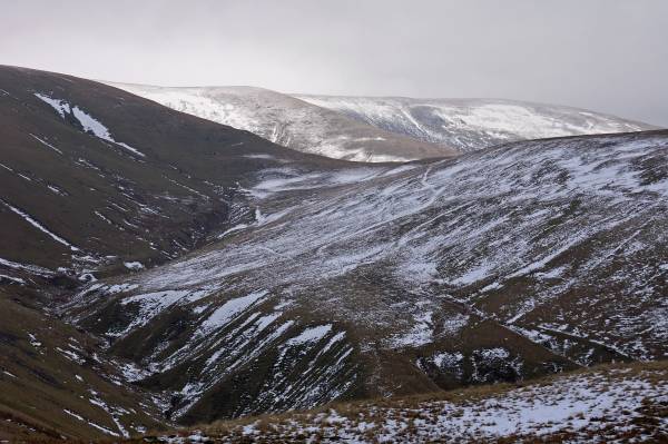
The deep ravine of Ashbeck Gill with the slopes of Sickers Fell rising to the right.
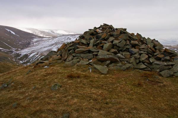
The summit Crook.
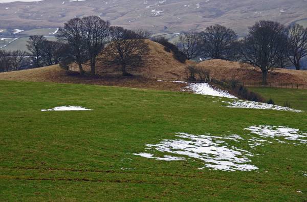
The path of the fell passes close by Castlehaw Tower a Motte and Bailey fort believed to have been built by the Saxons.